Sudden dry weather caused by high pressure – Ghana Meteo
 The sudden spell of dry weather being experienced in the country is the result of what is meteorologically termed the “high pressure system” intensifying over North Africa.
Mr. Tetteh Portuphy, Senior Meteorologist at The Ghana Meteorological Agency, Kotoka international Airport, told the Ghana News Agency, that as a result of this sudden development, the northeasterly winds “which is the current wind regime we are having,” was pushing a lot of haze “over us”, resulting in the return of the typical harmattan weather conditions currently being experienced in the country.
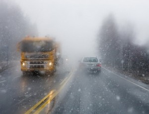
He said visibility levels in the country had as a result, reduced from an average of 8,000 to 9, 000 meters, to 2,000 meters and below, adding that the southern part of the country reported the lowest visibility levels.
Mr. Portuphy gave a summary of visibility levels as Tamale-1,500 meters, Kumasi-1,800 meters, and Accra-700 meters.
The Senior Meteorologist said the current dry weather conditions made fire outbreaks easily possible, and warned the public to be particularly cautious with the use of fire.
He urged pedestrians, cyclists, motorists and all other road users to be extra careful, especially at night and dawn, because of poor visibility levels.
Mr. Portuphy also advised that people wore protective clothing, especially at night, to avoid cold related infections.
He said there could however be some relaxation in the dry weather conditions next week, adding that the country was not yet out of the harmattan season.
“We expect the harmattan season to come to an end after the month of February,” the Senior Meteorologist said.
Source: GNA
